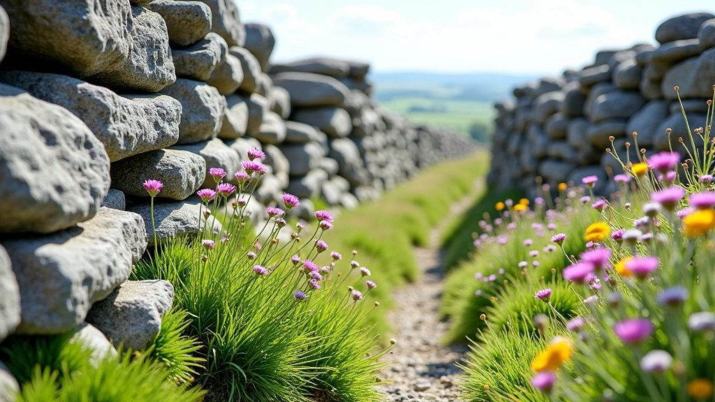
The Burren isn't like anywhere else in Ireland. You'll notice it immediately—there's barely a tree in sight, just vast stretches of pale limestone, stone walls, and wildflowers pushing through cracks in the rock. It's not harsh or unwelcoming. It's actually quite beautiful, especially if you understand what you're looking at.
The landscape you see today is the result of millions of years of geological change. And honestly, once you know the story behind it, the whole place makes more sense. You'll walk through these fields and actually understand why the ground looks the way it does.
How Limestone Built This Place
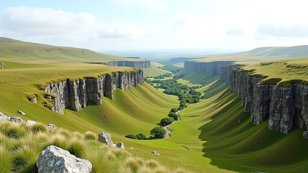
The Burren's foundation is limestone—specifically, carboniferous limestone that formed about 320 million years ago. Picture this: the area was underwater, covered by a warm tropical sea. Tiny sea creatures died, their shells accumulated on the seafloor, and over millions of years, they compressed into solid limestone rock.
That limestone layer is roughly 1,000 meters thick in places. It's still there, just waiting for rain to slowly dissolve it. And that's what's been happening for the last few million years. Water is weakly acidic, especially when it picks up carbon dioxide from the soil. It seeps through cracks in the limestone, gradually wearing channels and caves into the rock.
You'll see the effects of this everywhere. Underground streams vanish into sinkholes. Caves open up in unexpected places. And the surface develops these incredible patterns called karst topography—which is just a fancy way of saying "limestone landscape shaped by water."
The Three Layers Below Your Feet
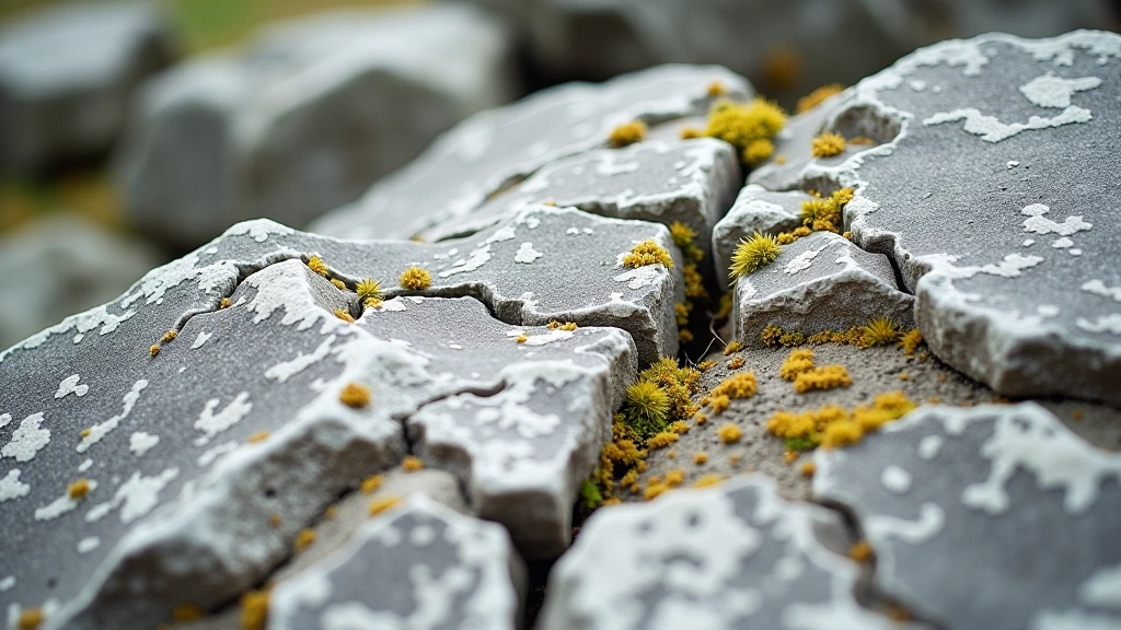
Limestone (top layer): The pale, exposed rock you see everywhere. This is what gives the Burren its distinctive appearance.
Shale (middle layer): Softer clay and silt that sits beneath the limestone. When water dissolves the limestone, it eventually reaches the shale, which erodes more easily.
Slate (bottom layer): Hard rock at the base. It resists erosion, so streams often flow along the boundary between shale and slate, creating valleys and terraces.
The Grikes and Clints That Make Walking Unique
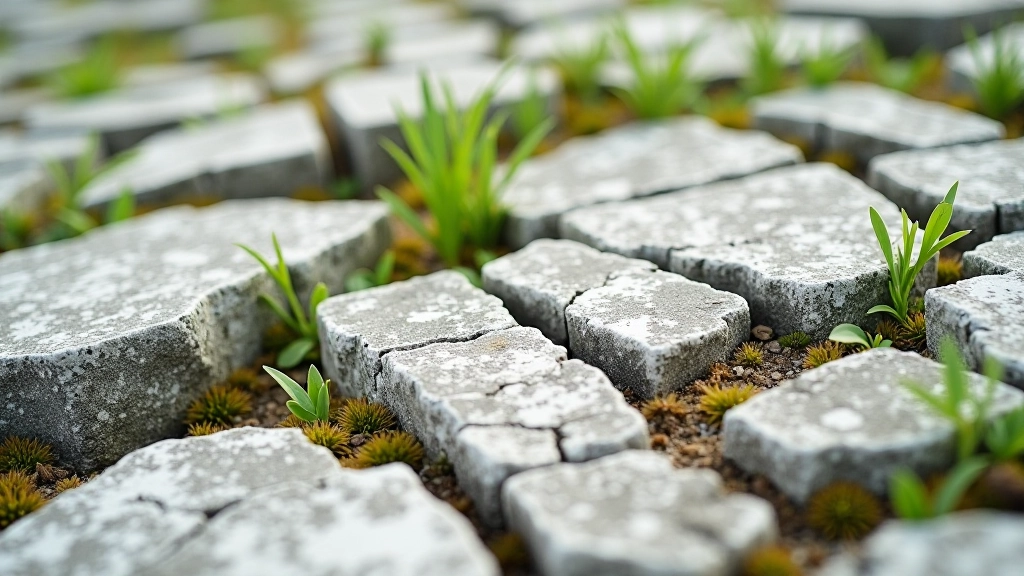
Walk across the Burren and you'll notice the ground isn't smooth. It's broken into rectangular blocks separated by deep, narrow cracks. Locals call the blocks "clints" and the cracks "grikes." It sounds made up, but it's proper geological terminology.
Here's how they form: rainwater seeps down through the limestone along existing cracks. The water widens these cracks over time, creating the grikes. The limestone between the cracks—the clints—gets left standing. This pattern can develop across entire fields, creating what looks almost like a giant patchwork quilt made of stone.
Why does this matter for hiking? Well, grikes can be deep—sometimes up to a meter—and they're narrow. You'll need to watch your footing. But they're also sheltered, and that's where you'll find most of the Burren's wildflowers. The grikes protect plants from the wind and keep moisture longer. It's actually one of the reasons the Burren has such unusual plant life.
The good news: most walking trails in the Burren are designed to keep you on smoother ground. You won't be jumping between clints the whole time. But understanding this pattern helps you appreciate what you're seeing.
About This Information
This article is educational material designed to help you understand the Burren's geological features. For detailed scientific information or professional geological surveys, we recommend consulting with academic resources or contacting the Burren Centre in Kilfenora. Always follow local guidance and trail markers when hiking, and check weather conditions before heading out.
Water: The Hidden Landscape Maker
If limestone is the building block of the Burren, water is the sculptor. The region gets around 1,500mm of rainfall annually—more than most of Ireland. That's a lot of water working away at the limestone, year after year.
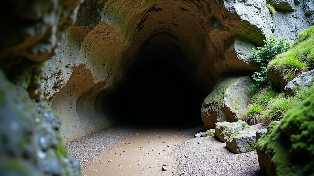
You'll see the evidence of this in several ways. First, there are caves. Some are small, barely visible openings in cliff faces. Others are substantial—places like Pollnagollum or Aillwee Cave are well-known to visitors. These formed when underground rivers carved their way through the limestone over thousands of years.
Then there are the sinkholes. These are places where the limestone's ceiling collapses, revealing what's beneath. You'll spot them across the plateau—sudden depressions in the ground, often with water pooling in them or vegetation thriving around the edges. Locals call some of these "turloughs," and they're temporary lakes that fill during wet weather and drain away when it's dry.
The streams are interesting too. Most of the Burren has no surface rivers. Water falls as rain, seeps into the limestone, travels underground, and emerges again at lower elevations where it hits the shale layer. This is why the valleys around the Burren have flowing water while the plateau itself stays dry. It's a completely different system from other Irish landscapes.
Why This Matters When You're Walking
Understanding the geology isn't just academic. It changes how you experience the landscape. When you know that the pale stone beneath your feet was once a tropical sea floor, that the cracks you're navigating were carved by patient rainfall, that the plants growing in impossible places have adapted to this unique environment—suddenly the whole place becomes more interesting.
You'll notice things differently. The stone walls aren't random—they're built from the limestone that farmers cleared to make the land passable. The terraces you walk through follow the contours created by water and geology. The absence of trees makes sense when you understand how thin the soil is. The wildflowers in spring become even more impressive when you realize they're thriving in such harsh conditions.
The Burren isn't dramatic in the way mountains or sea cliffs are. But it's got its own quiet drama—the slow, patient work of water on stone over millions of years. That's the real story. And once you understand it, you're not just walking across rock. You're walking through time.